What is the setting and map layout of The Maker Way?
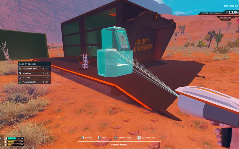
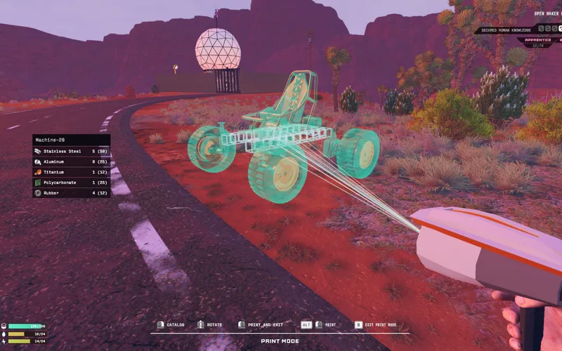
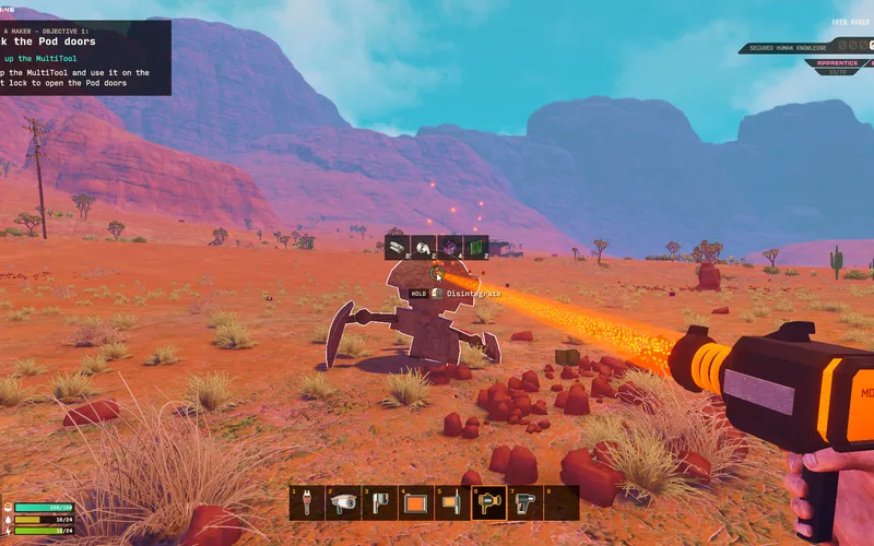
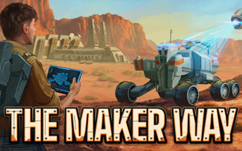
The Maker Way takes place across a quarantined sector of Arizona in the year 2039. In this alternate future, government authorities sealed off vast desert territories to stockpile confiscated human knowledge, proprietary technology data, and advanced industrial assets. Players navigate an open world encompassing shifting sand dunes, steep rock canyons, abandoned civilian infrastructure, and fortified government exclusion zones.
Confirmed Geographic Zones & Biomes
| Sector Archetype | Terrain Characteristics | Environmental Hazard | Strategic Importance |
|---|---|---|---|
| Open Dune Flats | Wide expanses of loose sand & gentle crests | High vehicle rollover risk & zero cover | Fast transit & initial resource scavenging |
| Rocky Canyon Networks | Narrow ravines, vertical bluffs, & stone arches | Blind turns & tight ambush corridors | Natural shelter for hidden forward outposts |
| Industrial Scrap Yards | Collapsed factories, rusted machinery, & scrap | Dense obstacles & jagged debris | Rich sources of refined metals & machinery |
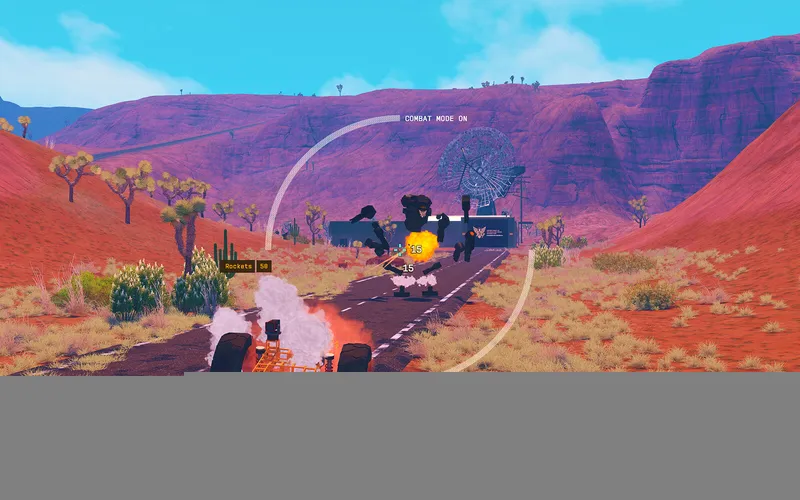
| Government Exclusion Zones | Fortified bunker complexes, walls, & radar masts | Heavy robot patrols & sensor arrays | Houses confiscated server drives & blueprints |
(Total map surface area in square kilometers and full sector coordinate bounds: 官方尚未公布 / Not yet announced)
Navigating Arizona’s Desert Terrain
Successfully crossing the desert requires tailoring machine engineering to specific terrain types:
[ Dune Flats ]       --> High-flotation wide tires + Low center of mass
[ Canyon Bluffs ]    --> Vertical thruster hovers + Articulated climbing suspension
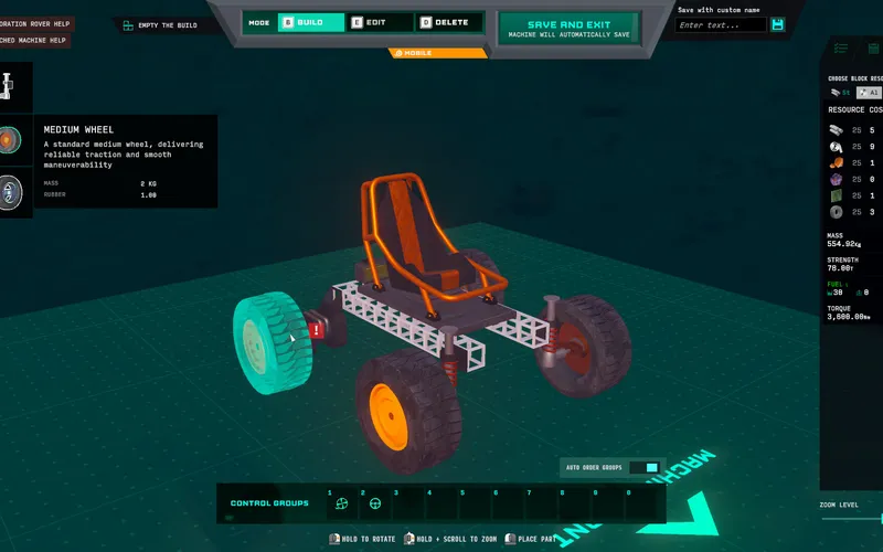
[ Exclusion Zones ] --> Stealth composite plating + Signal jamming electronics- Traction and Tire Width: Skinny wheels sink into loose dune sand, rapidly burning motor energy. Wide all-terrain wheel assemblies provide flotation over shifting sands.
- Elevation Traversal: Navigating vertical canyon walls requires either building airborne flying craft or installing high-torque winches and directional climbing thrusters.
- Dust Storms: Periodic desert dust squalls reduce solar panel output and impair visual visibility, requiring reliance on onboard radar and thermal sensors.
Reconnaissance Protocols for Hostile Sectors
- High-Altitude Observation: Park your machine atop canyon mesas before entering an exclusion zone to plot robot patrol loops.
- Mark Emergency Retreat Routes: Identify natural rock arches and dry creek beds that provide overhead cover from pursuing surveillance drones.
- Establish Waypoint Relays: Place small solar beacon nodes along key navigational paths to guide safe return during zero-visibility sandstorms.
Frequently Asked Questions
Is the entire map available from the start?
The game features an open-world design, though high-threat government exclusion zones present severe combat and electronic defenses that effectively gate premature entry until better machines are fabricated.
Are there human NPCs living in the desert?
The narrative follows a solitary engineer searching for their missing uncle and reclaiming confiscated knowledge; human community hubs have not been detailed ahead of launch.
Can weather damage exposed machine components?
Environmental heat affects battery discharge and engine cooling, but mechanical sand abrasion penalties remain unannounced by developer Brave Games Inc.